Unexpected Upland

Explore Charnwood Forest Geopark

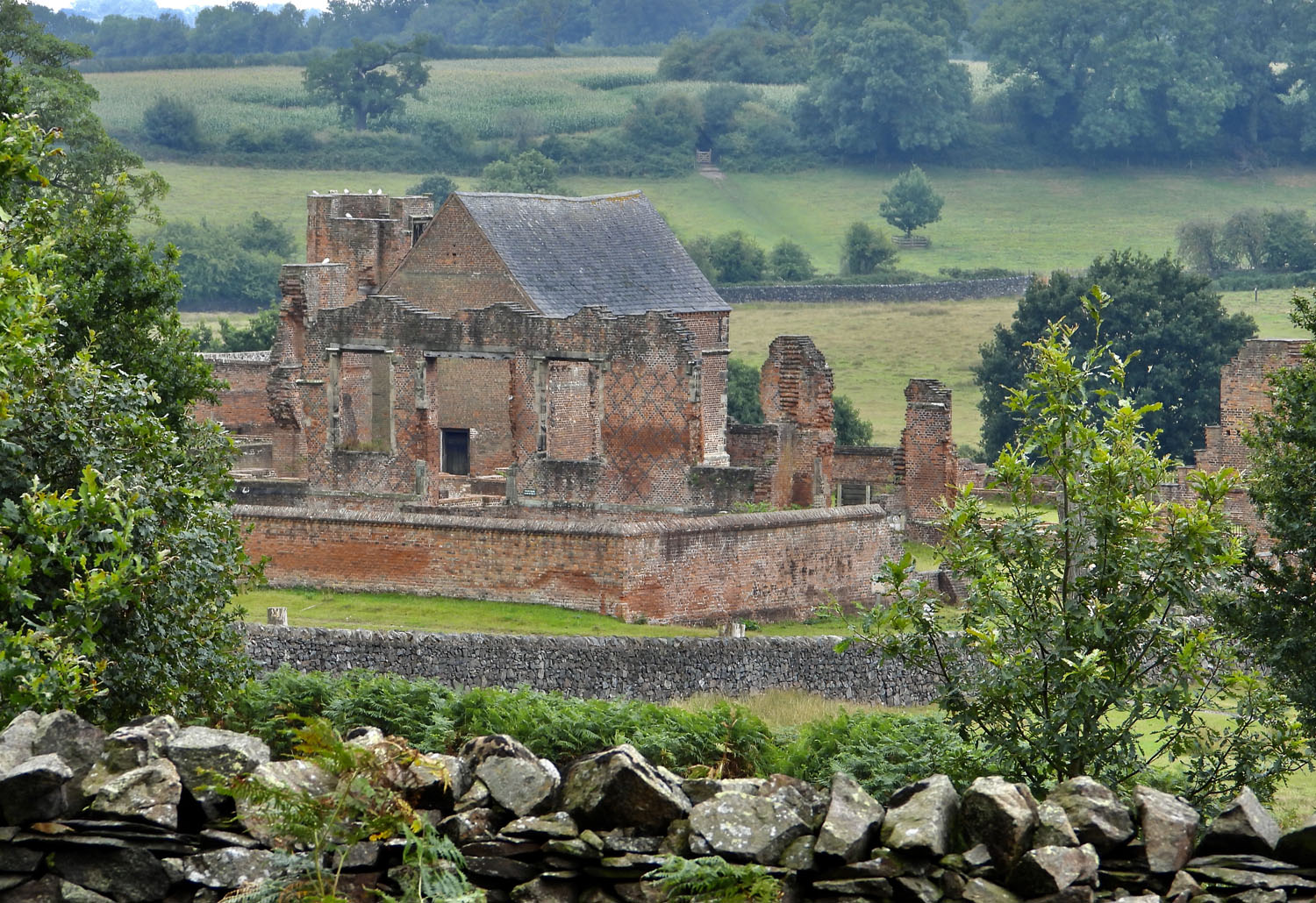
From fantastic food to superb hikes, and world-class geology, there’s always something new to discover in Charnwood Forest.

our geosites

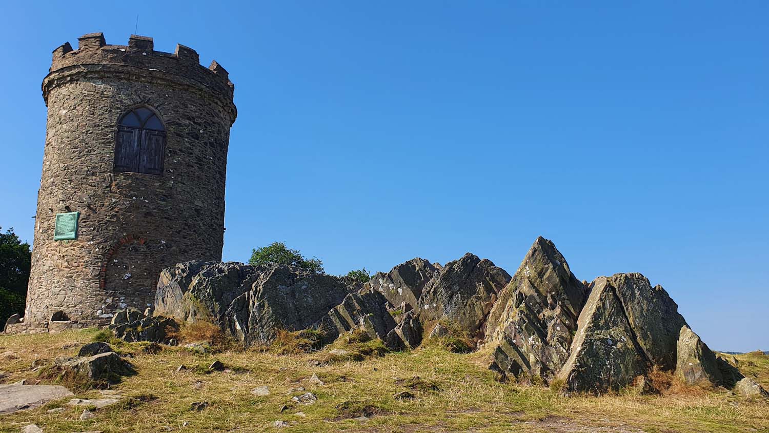
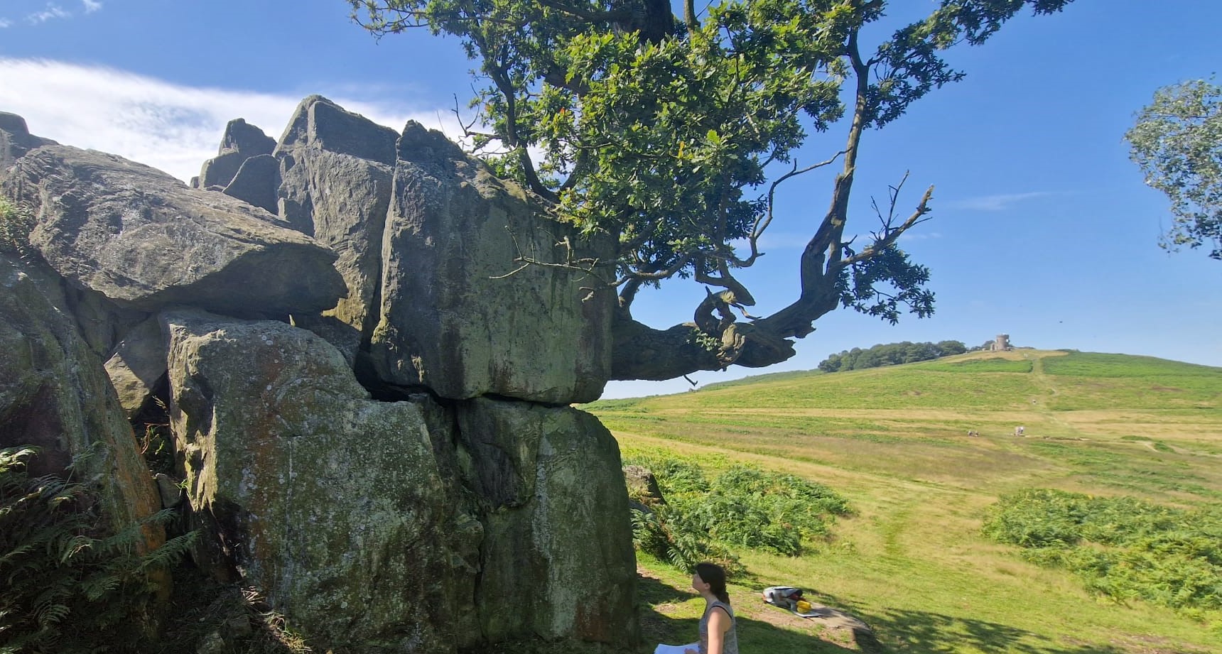
Discover what makes Charnwood Forest famous, and travel back nearly 600 million years.
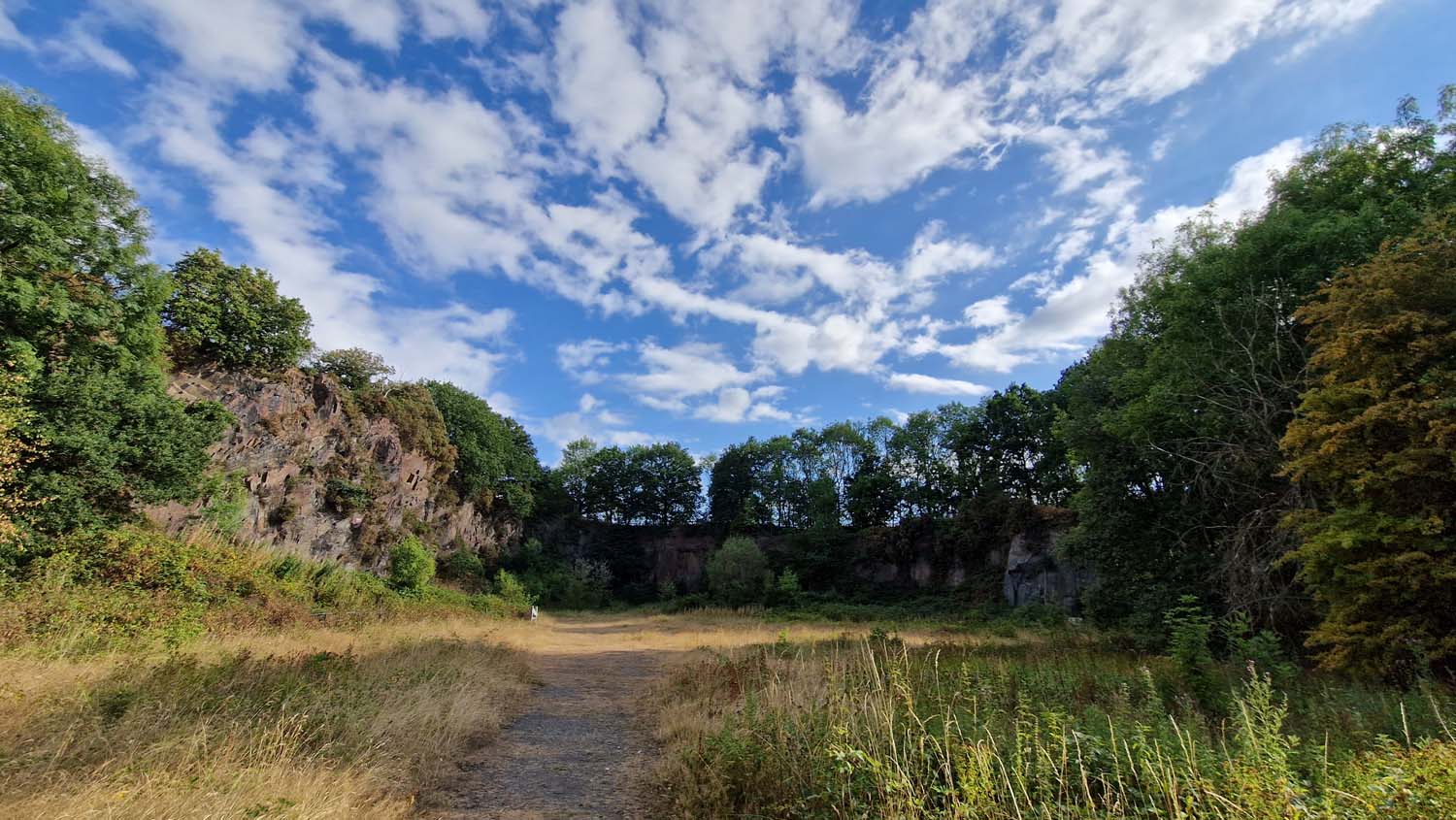
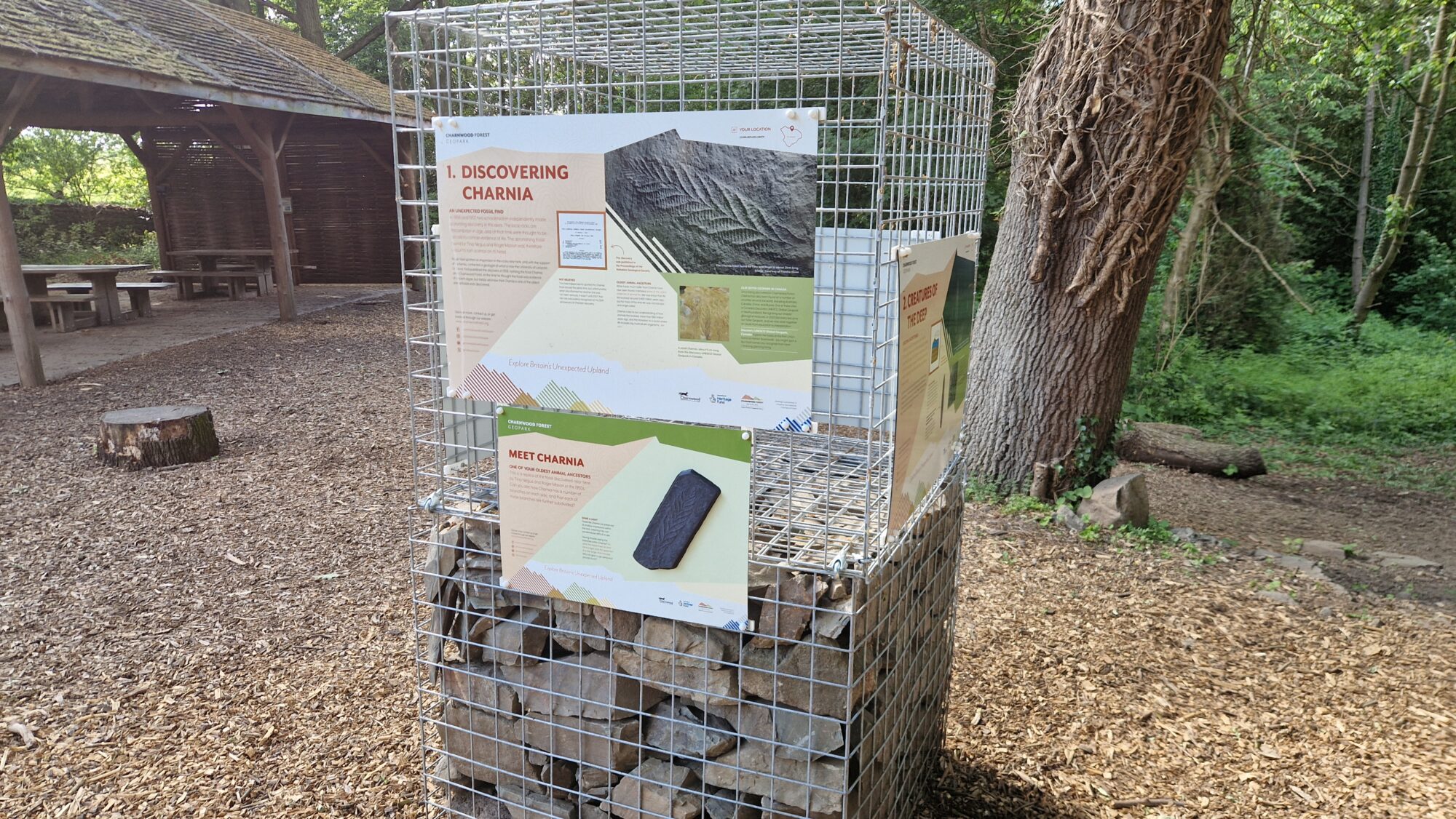
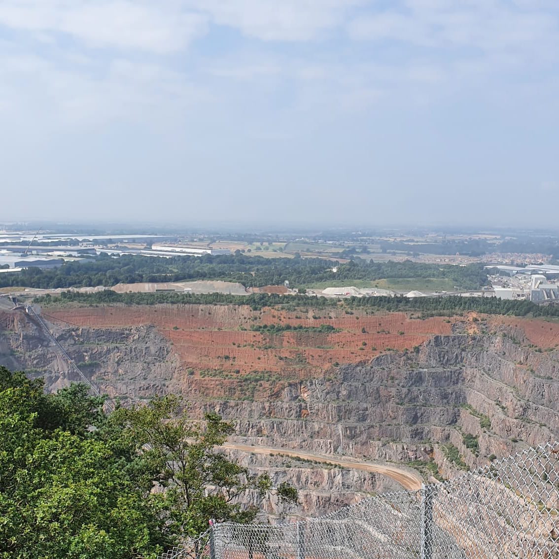
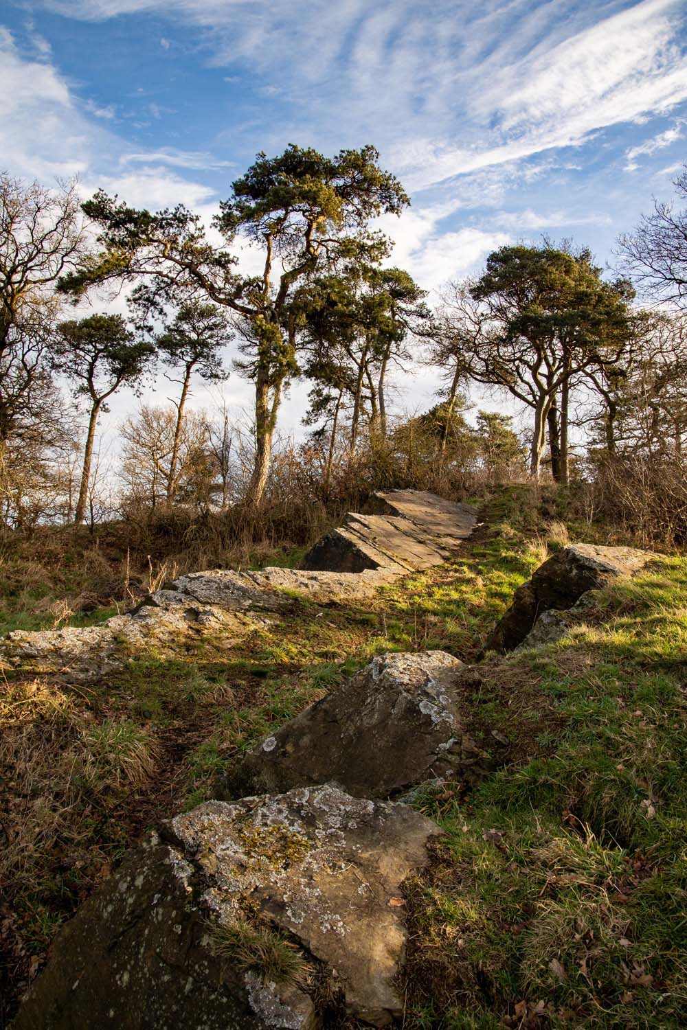
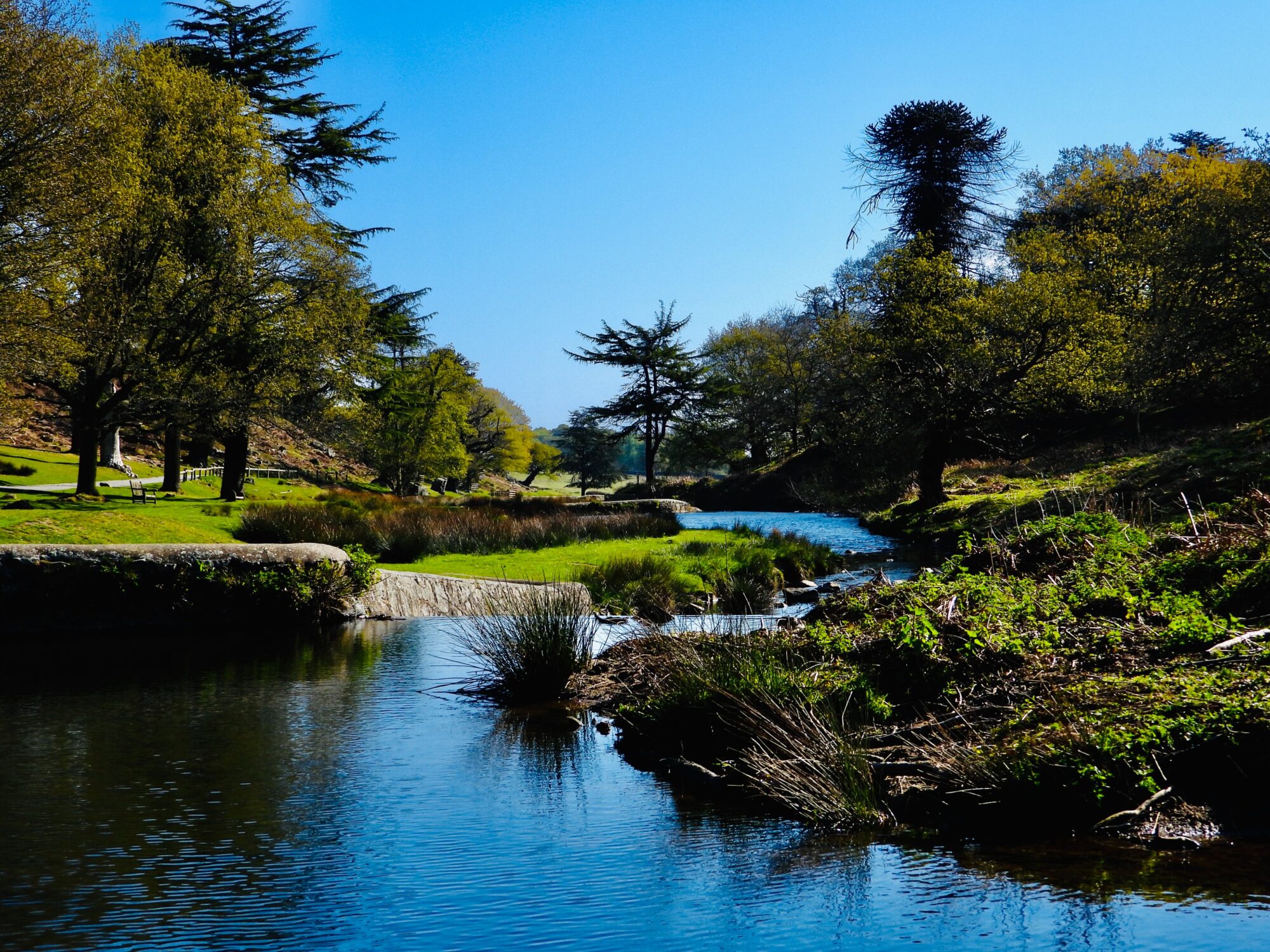
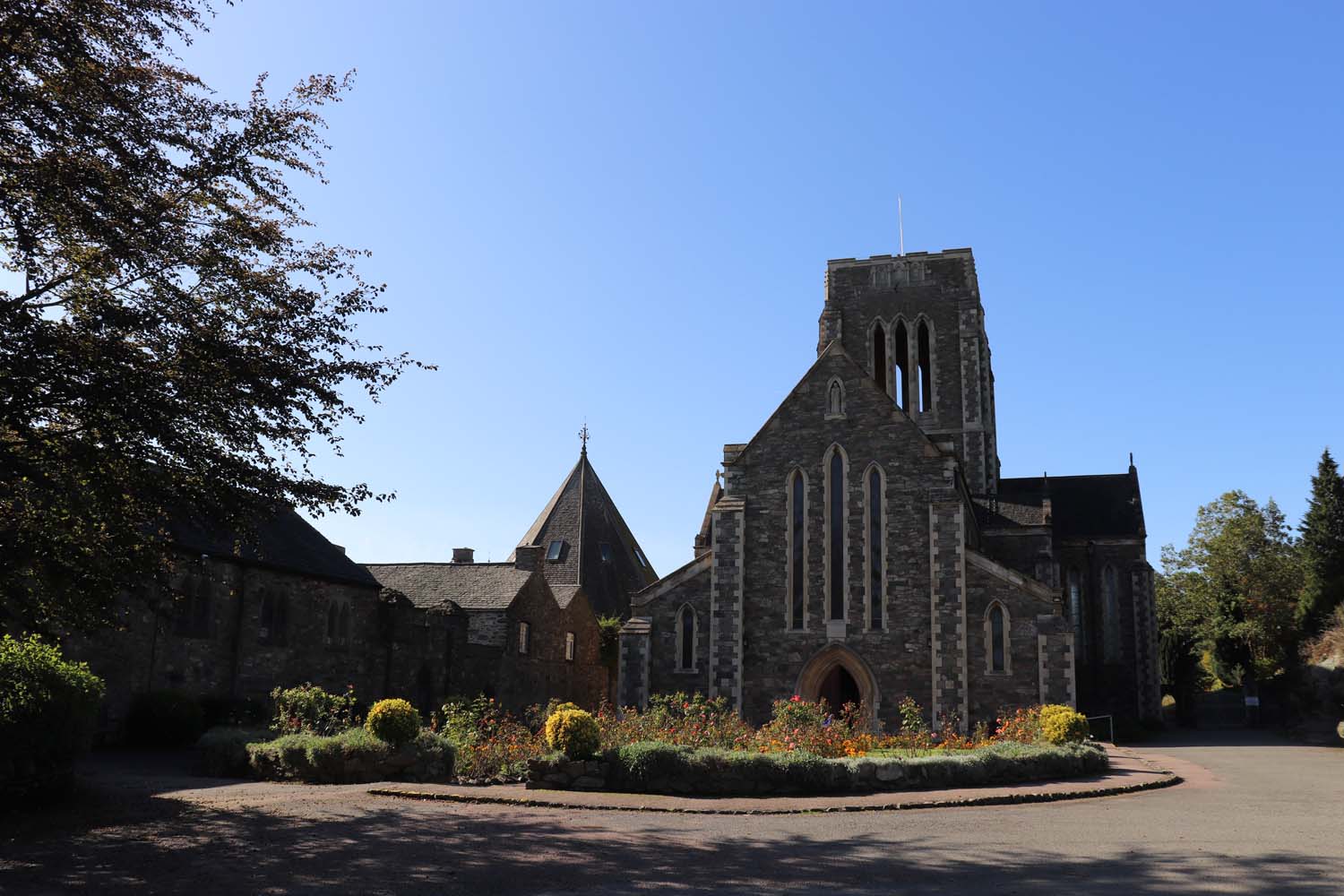
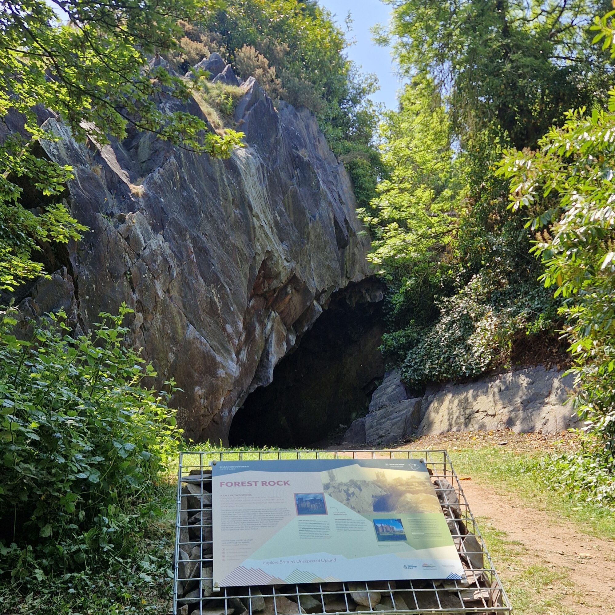
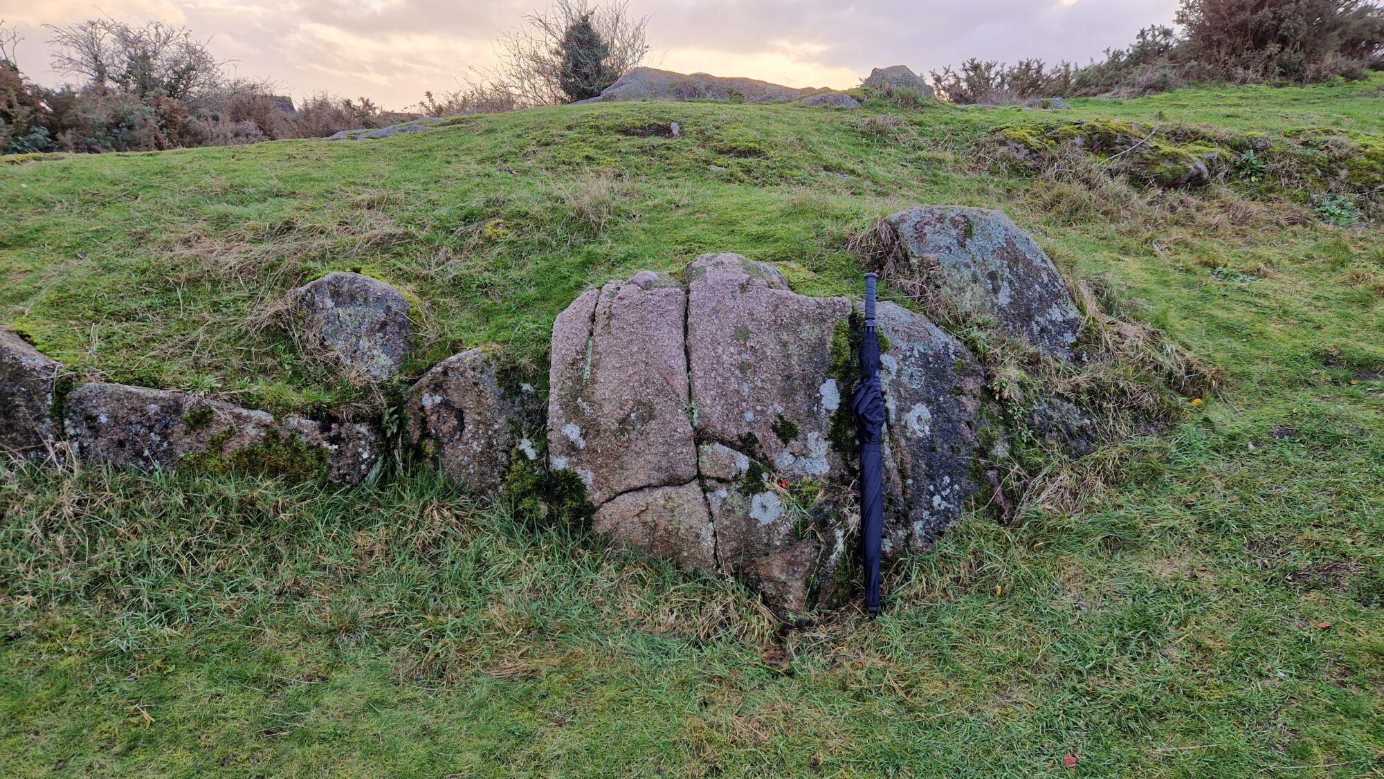
Our Geopark signage at The Outwoods
  • Geosites

Outwoods – Discovering Charnia

The Outwoods is 110 acres of ancient woodland to the south of Loughborough and is one of the oldest surviving woodland sites in Charnwood.

A sunny day at Morley Quarry Local Nature Reserve
  • Geosites

Morley Quarry

Journey back to where it all began, with the oldest rocks in Charnwood Forest.

An interpretation panel next to the packhorse bridge known as Sandham Bridge
  • Geosites

Sandham Bridge

Sandham Bridge is an excellent example of a packhorse bridge, one of several in Charnwood Forest that cross the Rothley Brook.

A rock face in a quarry.
  • Geosites

Hill Hole

A peaceful nature reserve set in a former quarry.

Historic photograph of Broom Leys House
  • Geosites

Broom Leys House

Discover the industrial and war-time history of the fascinating building.

the front of Beaumanor Hall
  • Geosites

Beaumanor Hall

Built between 1842 and 1854 by architect William Railton for the Herrick family, Beaumanor Hall has a secret past from World War II...

Groby Pool by Mike Pratt
  • Geosites

Groby Pool

The mud that lies at the bottom of this pool is helping to reveal how this landscape has evolved over centuries - and the impact humans have had on the environment.

Bob King in the lead mine at Shepshed Cutting
  • Geosites

Shepshed Cutting

Journey along a historic railway line, and discover the hidden geological treasures...

An image of the side of Bardon Hill Quarry, showing a cross section through a large v-shaped valley, infilled with red sandstone.
  • Geosites

Bardon Hill

Climb to the highest point in Leicestershire, and look back to an ancient valley that's more than a quarter of a billion years old!

A view from inside the dark cave-like structure at Forest Rock, out into the sunshine
  • Geosites

Forest Rock

A secluded spot among the picturesque village of Woodhouse Eaves.

A historic diagram of the wire tramway
  • Geosites

Markfield Wire Tramway

Ever ridden a gondola or chair lift? If so, you've been transported by technology that was developed on this site.

Inclined rocky crags, with several trees in the middle distance
  • Geosites

Billa Barra

Stand on an ancient hill with views that reach out across the Geopark.

All Saints Church in Thurcaston
  • Geosites

Tremendous Teichichnus

Discover ancient traces of movement with the rock of this historic gravestone...

A diagram showing where the earthquake of 1893 was felt.
  • Geosites

Woodhouse Eaves Earthquake of 1893

On the evening of Friday 4th August 1893, the people of Woodhouse Eaves, and others all across Leicestershire, were startled by tremors and a rumbling sound...

Rocky crags at Beacon Hill, known as the Old Man as they look like the face of a man.
  • Geosites

Old Man of Beacon Hill

These rocks were deposited 565 million years ago, but how have they been weathering into the shape of a face?

A river runs through a small valley. The sky is blue.
  • Geosites

Bradgate Park – Little Matlock

Explore a beautiful river, tracing the course of ancient water...

Rocky crags at Bradgate Park, next to the Old John tower.
  • Geosites

Bradgate Park – Old John

Delve into ancient sediments and how they were deposited.

The ruins of the old Bradgate House in Bradgate Park
  • Geosites

Bradgate Park – Ruins Outcrop

Delve into Bradgate Parks fiery geological past.

A view of stable pit in Bradgate Park. The ruins are visible in the background.
  • Geosites

Bradgate Park – Stable Pit

From Stable Pit to shallow Cambrian seas.

A rock outcrop with an oak tree growing out of it.
  • Geosites

Bradgate Park – The Swiss Roll

Instability in the rocks of Bradgate Park...

A small outcrop of granite-like rock in the middle of a field.
  • Geosites

Halstead Road Centenary Pasture

Explore the Geopark's eastern magmatic past.

Explore more

A view of Mount St. Bernard's Abbey with a blue sky background.
  • Visit

Where to Visit

From medieval deer parks, to trappist abbeys, there's something for everyone in Charnwood Forest.

A picnic basket full of food. A sign says "Edible Forest"
  • Eat & Drink

Where to Eat

There's a restaurant, cafe, or pub for every taste in the Charnwood Forest Geopark.

Several bottles of wine sitting on a rocky outcrop.
  • Shopping

Where to Shop

From local honey to sustainably raised venison, Charnwood Forest is full of products for you to try.

Two people sit eating a meal out the front of a small accommodation building in the countryside
  • Stay

Where to Stay

Find the perfect accommodation for your stay in Charnwood Forest

A guided tour group walks through the green woodland at Beacon Hill
  • Walk

Where to Walk

Exploring Charnwood Forest on foot is one of the best ways to discover our most famous sites and the hidden treasures.

The front of a village hall in the countryside. The doors are open.
  • Host

Where to Host

There's a venue for every event here in Charnwood Forest.

A group of cyclists rides past a sign saying "Outwoods Woodland Walk"

COME VISIT US

How to get here

Geopark is well served by transport links. We are just a short drive from the mainline railway stations at Leicester and Loughborough, and served by a number of bus routes including the 16, 26, 27, 29, 74, 125, 126, 127, and 154.

By road, the Geopark can be easily accessed from junctions 21A, 22, and 23 of the M1.

View the map