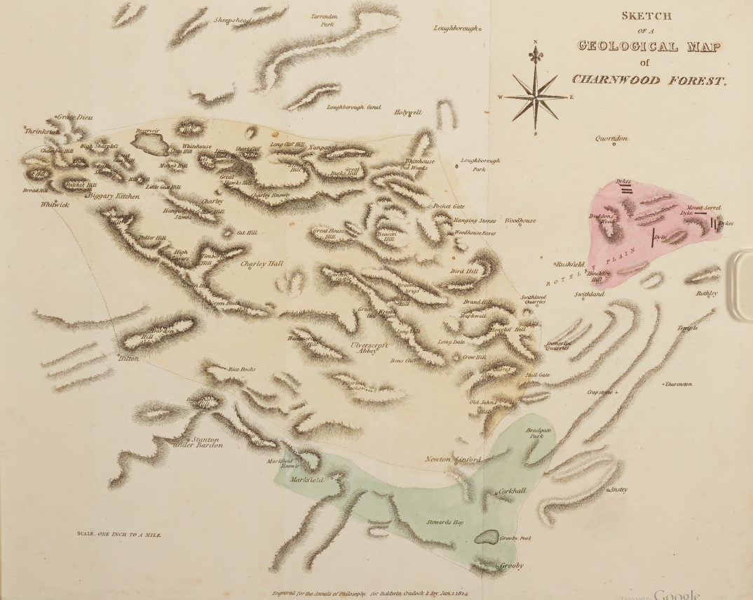
January 2024 marks the 200th anniversary of the publication of a very important paper for Charnwood Forest: “Observations on the Rocks of Mount Sorrel, of Charnwood forest, and of the Neighbourhood of Grooby, in Leicestershire“. Printed in 1824 in Annals of Philosophy and authored by William Phillips and Samuel Luck Kent, the paper contains one of the first geological maps of what is now the Geopark region.
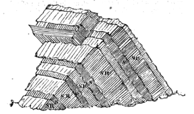
While the science has progressed a great deal in the following two centuries, and the geological map has become much more complicated, there are still many important observations contained in the paper that still make sense to the modern reader. One in particular are the authors observations about the outcrops at the summits of the hills in Charnwood Forest, and how many of these have dipping layers of rock. Williams and Kent further note that the cleavage – planes along which the rock will split – changes its characteristics depending which layer of rock you are looking at, as demonstrated by their beautiful diagram:

A diagram from William and Kent 1824, showing the cleavage within the rocks of Charnwood Forest.
One other things of note is how some of the placenames are spelled differently, including Mount Sorrel, Thrinkston, and Grooby.
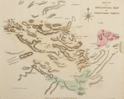
A photograph of the map contained within the publication can be found below. Can you spot anywhere you know?

